
How to inspect a plot before buying: a site-visit checklist
Check access, boundaries, terrain, signs of water and utilities during a plot visit. A practical list of photographs, observations and follow-up questions.
At a glance
- A site visit should produce photographs, notes on access and terrain, and a list of open questions.
- Keep observations, the seller’s statements and documentary evidence separate.
- A pole, fence or dry surface alone does not establish a connection, a boundary or ground conditions.
Inspecting a plot before purchase helps establish how to reach it, where changes in ground level are visible and which utility questions remain unanswered. A useful outcome is a set of labelled photographs and a list of information still to confirm.
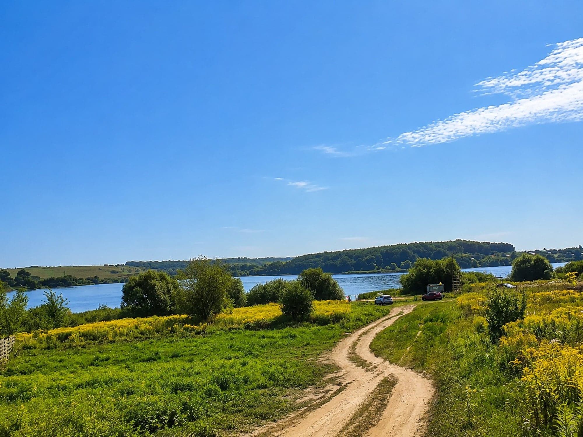
The cover photograph comes from the gallery for Shchekinskie Berega in Tula Region. It shows the surroundings by the reservoir. It does not establish the present condition of access to an individual plot.
Before the visit: meeting point and plot plan
A visit needs the selected plot number, cadastral number, location plan and meeting point. The catalogue map helps with orientation in the area; the visit needs to be tied to the specific plot under consideration.
The plan and a question list can be saved on a phone. Recording the date, time, weather and route from the nearest road makes it easier to distinguish visits and photographs of different plots.
Documents are checked separately. The legal checklist covers ownership, boundaries and restrictions. The sections below focus on observations on site.
Access: the final stretch of road and the entrance
The total journey time says little about the last stretch to the plot. Here, the road surface, ruts, gradients, bends, passing places and somewhere to stop at the entrance matter. Where building work is planned, access for construction vehicles and material deliveries is discussed with the contractor.
Useful photographs include the turn-off from the main road, difficult stretches along the way and the entrance itself. Road maintenance, snow clearance and the terms of access are separate questions. A successful trip in a passenger car answers only part of them.
The seller can be asked how access changes after rain and in winter, and on what basis the access route is used. Unchecked information stays on the question list until an answer and any necessary documents are available.
Boundaries: locating the chosen plot
The plan is compared with landmarks on the ground: the road, neighbouring plots, fencing and installed markers. If a side or corner of the plot is unclear, it can be marked on the plan and photographed.
A phone helps locate the area, but its position should not be used to settle a boundary discrepancy. A cadastral engineer can check and mark boundary points on site. Until a discrepancy is resolved, the position of a future house or fence cannot be selected with confidence.
Terrain and water: what is visible during the visit
A walk around the plot can reveal low points, slopes, ditches, runoff traces and standing water. If long grass or snow conceals part of the ground, the visit notes should record that it could not be inspected.
Observations are recorded with the weather. A dry plot on one day does not give a complete picture of spring snowmelt or prolonged rain. Where possible, a second visit in different conditions adds to the first inspection.
The surface alone cannot reliably establish soil composition, groundwater depth or a suitable foundation. The designer can advise on the engineering investigations needed. Until those findings are available, earthworks and foundation costs remain provisional.
Utilities: visible infrastructure and connection terms
A pole, cable, inspection chamber or gas pipe provides a starting point for questions. A photograph of it does not establish which work has been completed for the chosen plot.
For each required utility, the information to confirm includes:
- the connection point and available capacity or service parameters;
- the network owner and the document setting out connection terms;
- work to be done by the network operator and within the plot;
- cost, timing and who will carry out the work.
An answer that is still verbal is recorded as such. The guide to costs beyond the land price helps bring confirmed figures together in a separate budget.
Mobile reception and internet access can also be tested on the buyer's phone. The result applies to that operator, location and time.
Surroundings: noise, light and everyday journeys
A walk can reveal neighbouring buildings, road traffic and sources of noise or odours. The date and time give context: a quiet weekday and a weekend evening may leave different impressions.
Tree shadows and outdoor lighting are recorded with the time. A daytime visit does not show how the area is lit at night.
For living on the plot, the buyer's own journeys matter — to work, school, shops or public transport. Trying a relevant route provides more information than a straight-line distance on a map.
What to keep after the visit
This table is a recording template, not an inspection report for a particular plot. Each item can be marked “checked”, “answer needed” or “not inspected”.
| Item | What to keep | What to clarify |
|---|---|---|
| Access | Turn-off, surface, ruts and entrance | Maintenance and access terms |
| Boundaries | A plan with landmarks and photographs of discrepancies | Who will check or mark the points |
| Terrain and water | Low points, ditches, runoff traces; date and weather | Investigations needed for the design |
| Utilities | Visible infrastructure and its location | Connection terms, cost and timing |
| Surroundings | General views and noise notes | Whether a visit at another time is needed |
| Work before construction | A list of anticipated work | Who will quote and what will be included |
A short label helps explain each photograph: where it was taken and what needs attention. A general view, the entrance and any disputed location are best recorded in separate images.
Using the inspection results
The visit leaves three groups of information: personal observations, the seller's answers and supporting documents. Keeping them separate makes unresolved questions visible. A promise to prepare a road or extend a network does not yet confirm the cost or timing of specific work.
The next step is to obtain missing documents and quotations, then compare plots on equivalent terms. The land-use guide helps connect the choice with its intended use, while the Tula Region page helps compare two projects before a visit.
Frequently asked questions
- Can a plot be chosen from photographs?
- Photographs help create a shortlist. A visit adds checks of access, terrain, surroundings and visible utility infrastructure. Gallery photographs do not confirm conditions on the purchase date.
- What does an electricity pole next to a plot tell the buyer?
- A visit can record that a pole or line is present. Available capacity, the connection point, work required, price and timing need confirmation in the terms for that particular plot.
- Is a visit after rain necessary?
- It can add observations about the road and surface water. It does not replace considering other seasons or the engineering investigations needed for a house design.
- What if a fence and the plot plan do not match?
- The discrepancy is photographed and discussed with the seller and a cadastral engineer. A phone position or an existing fence should not be treated as the result of a boundary check.
Next step
Explore the resources and offers relevant to this article.
Plots for a homeStill have questions about land?
Ask us about a specific plot: status, documents, utilities, instalments. Or call us on +7 (995) 169-12-30.