
The whole tract as a single lot
AvailableGvardeyskoye, Tula Region
Satellite area overview
Area overview. The exact plot location and boundaries are to be confirmed from the property documents.
This satellite overview has no parcel boundaries. The outline and dimensions will be added after the geographic data is verified.
Specifications
- Area
- 11.6 ha
- Area, m²
- 115,967
- Price per hectare
- 42,685 ₽
- Cadastral number
- 71:07:030101:256
- Land category
- Agricultural land
- Permitted use
- Agricultural use
Utilities
Description
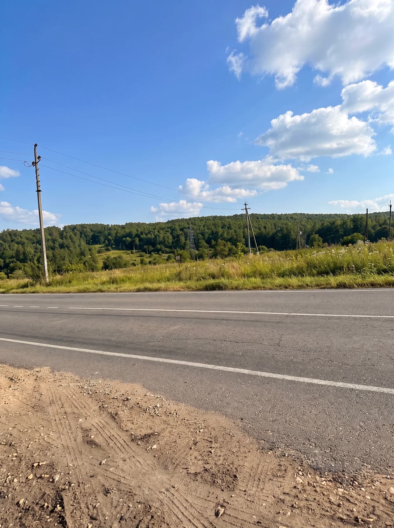
A 115,967 m² (11.5967 ha) land plot in Dubensky district, Tula Region. The EGRN extract locates it in Gvardeyskoye municipality, approximately 1,810 m northwest of house 19 in the village of Verkhovye. Cadastral number: 71:07:030101:256. The land category and permitted use are agricultural. The photos and video show the surrounding area. Access and utility connection terms are to be confirmed for this plot. Property details are taken from the extract dated 17 June 2026; current records are checked before purchase.
Title extract (EGRN) and plot layout are available on request before completion. What documents you will receive →